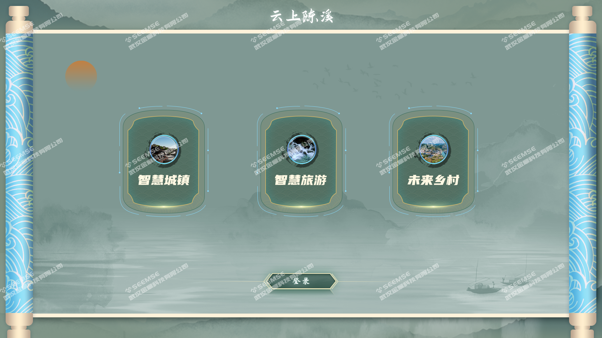
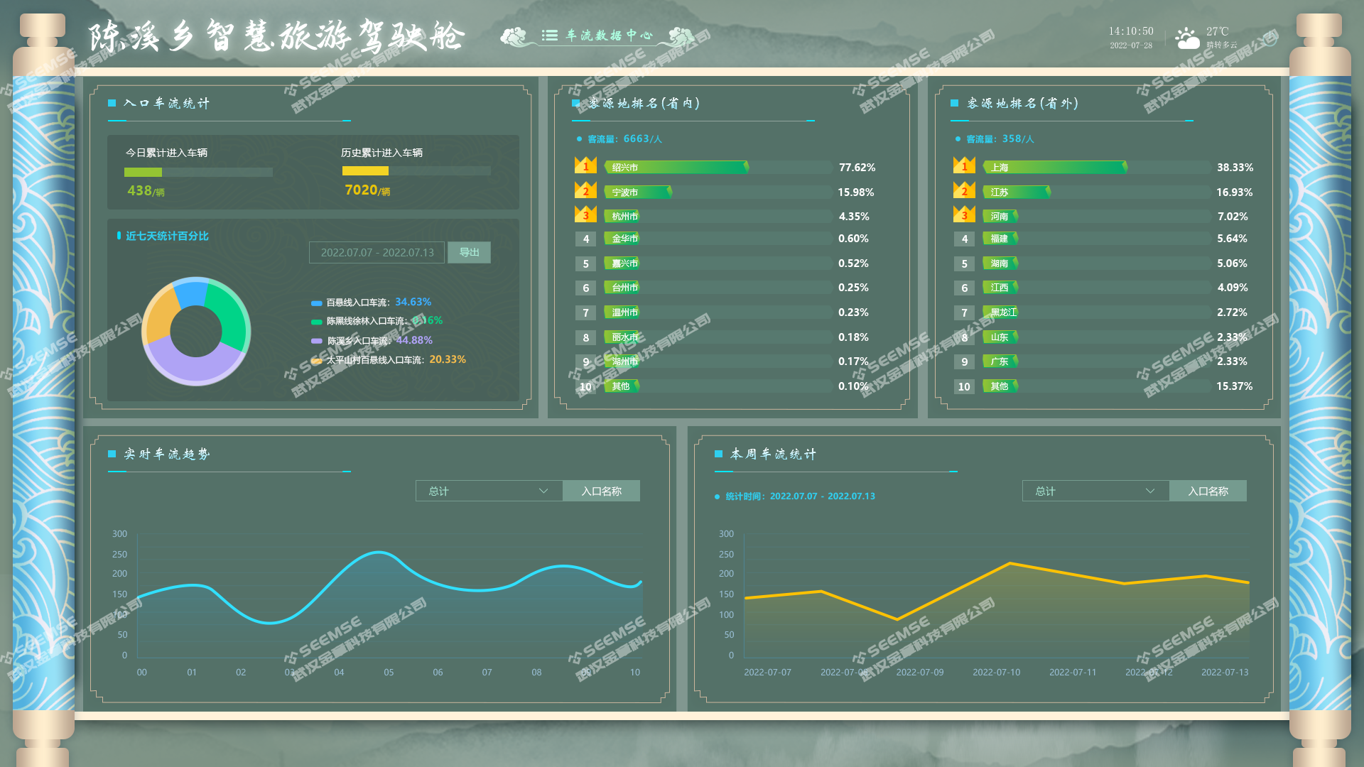
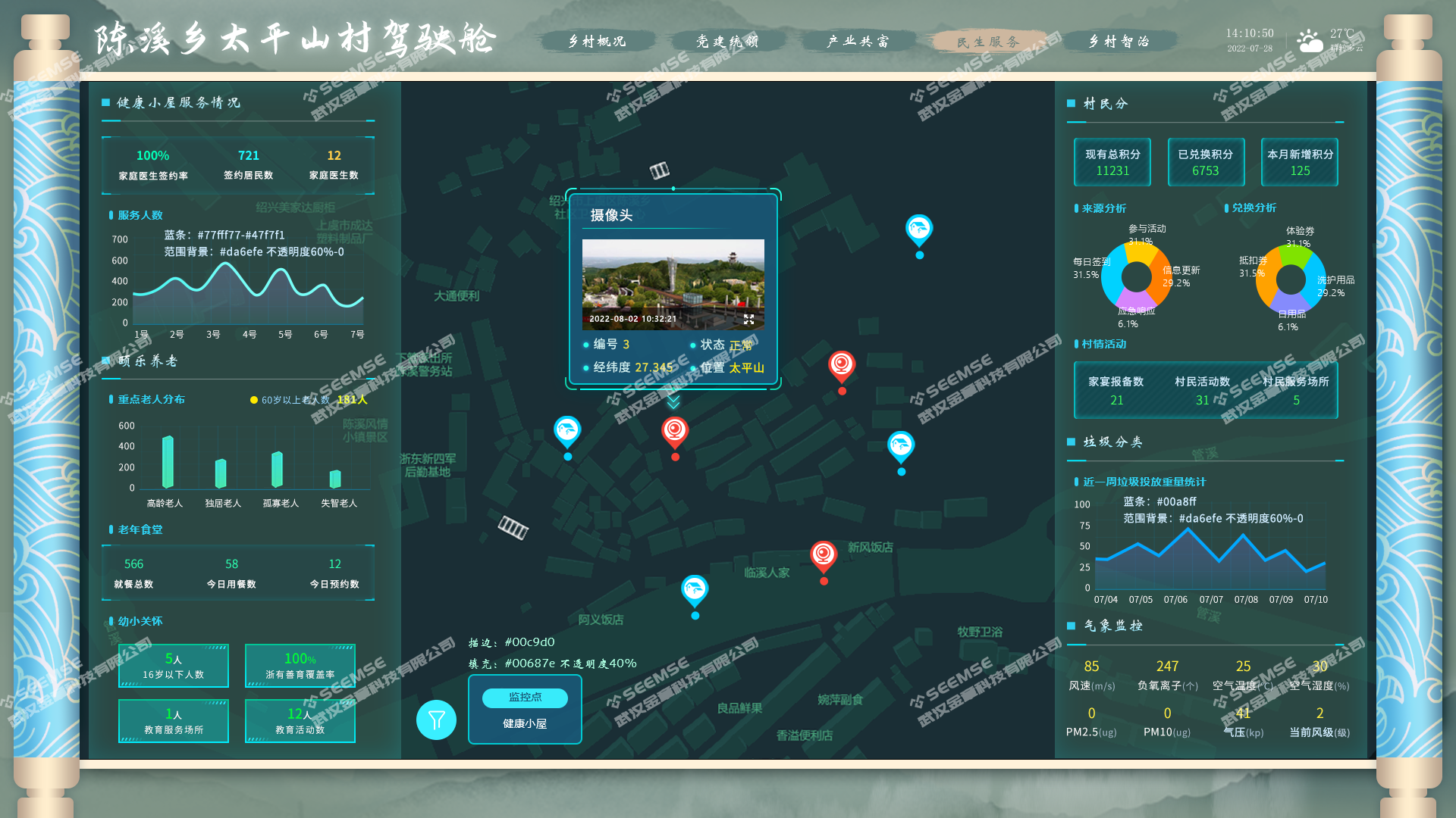
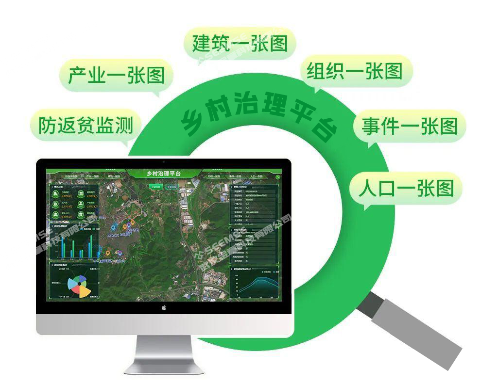
Focusing on rural funds, assets, and resources, it builds a digital village management One-Map platform to provide government departments with more professional solutions and to help village-level organizations solve the rural governance issues they care about most. The platform integrates rural industrial development data, rural living environment governance data, digital village service information, and 3D real-scene village maps. It uses thematic maps, pie charts, bar charts, line charts, dynamic charts, and other visualization forms to present the results of digital village construction in a comprehensive way.
It carries out comprehensive informatization processing and utilization of all aspects related to rural grassroots facilities and living development, enabling functions such as village map, video, image, and statistical information display. It combines village poverty alleviation monitoring, specialty industries, public buildings, Party building organizations, emergencies, and population composition with real-scene 3D data to achieve smart and networked rural management, provide basic data support for rural management and decision-making, help implement smart digital village construction, and ultimately achieve rural governance.
Return-to-Poverty Prevention Monitoring One-Map
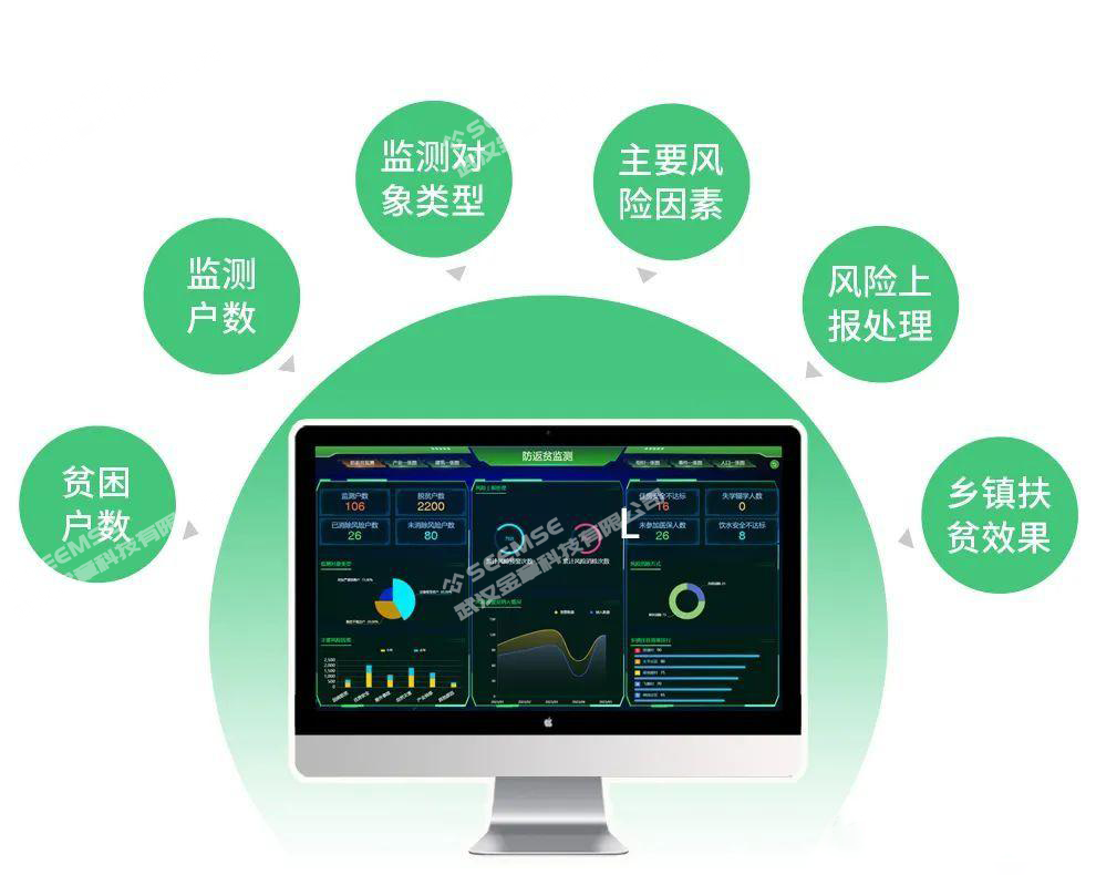
It strengthens data and information screening. The platform collects and summarizes key monitoring targets such as the city's population lifted out of poverty and the 'three categories of people,' and investigates and counts major risk factors such as poverty caused by illness, housing safety, accidents, natural disasters, and industrial specialization, ensuring timely early warning of poverty-return and poverty-causing risks, implementing targeted assistance measures in advance, and leaving no household at risk of returning to or falling into poverty unnoticed.
The return-to-poverty prevention monitoring and early warning module includes multiple data monitoring indicators such as poverty status, monitoring targets, safe drinking water, labor force, disaster impacts, and poverty alleviation results. It provides important reference for grassroots cadres to formulate assistance measures, greatly improves the precision of assistance work, and also facilitates staff working on the front line of rural governance.
Industry One-Map
With the digital rural governance management platform, not only are basic information such as the number of businesses and scenic areas in the village and the industrial situation clear at a glance, but the overall village appearance can also be viewed. Any camera's surveillance footage can be freely checked, and the distribution of rural industries can be viewed extensively, providing a full understanding of agriculture, tourism, businesses, and other industries and helping villages achieve industrial governance.
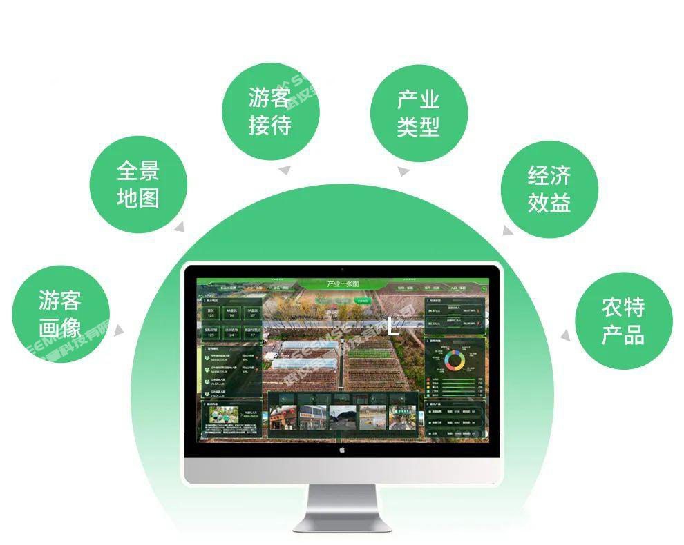
The platform builds an industrial big data database, which can better grasp the current status of economic resources such as village farm planting, tourism operations, agricultural operations, and agricultural specialty products, and integrate them into the rural governance management big data center.
Through rural industry management, it clarifies the village's basic industrial data and village and township resource base, providing detailed and accurate data foundations for departments to scientifically guide operations, production, and management, adjust industrial layout, and enhance the comprehensive value of rural products, thereby improving efficient management.
Buildings One-Map
Concentrated land issue resolution involves a wide range of villages and numerous cases, and land issues are prominent. The building supervision module enables multi-dimensional real-scene display such as 2D satellite maps and panoramic maps of rural living environments, including information queries on agricultural planting and breeding land, public supporting facility land, and residential housing. It enables monitoring and early warning of real-time rural operation conditions and improves the digital level of comprehensive rural land management.
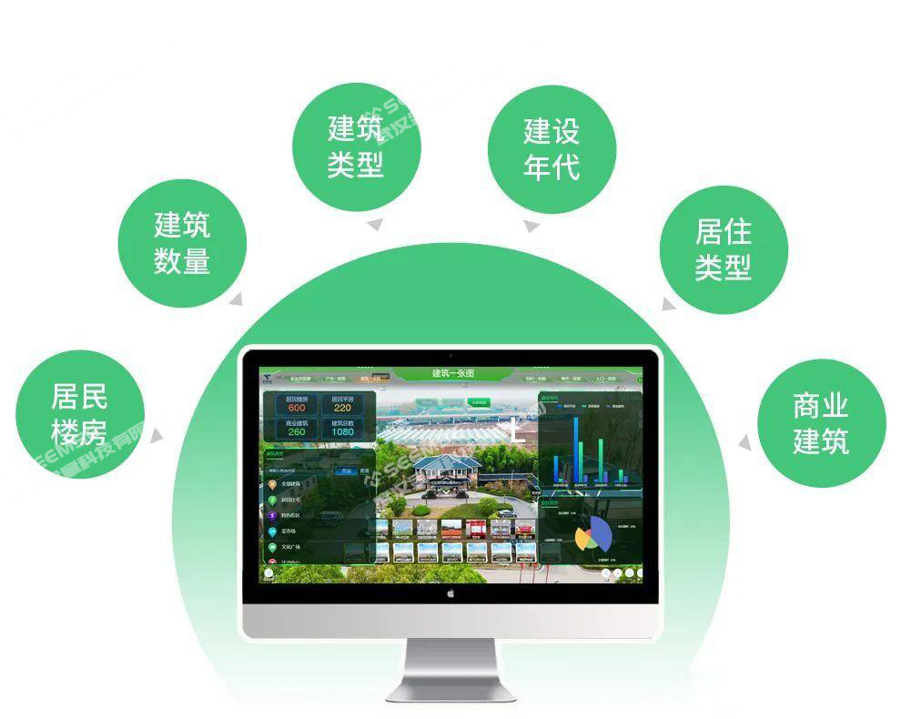
First, the platform strengthens land supervision and reinforces the rectification of illegal occupation of cultivated land for house building in rural areas. Using the platform to understand all land resources, including the number of residential apartment buildings, residential single-story houses, commercial buildings, and rural buildings, it curbs the increase in illegal occupation of cultivated land for house building in rural areas at the first opportunity, and ensures timely discovery, rectification, and handling of all rural land use.
Second, the platform handles existing land stock issues and safeguards reasonable construction land demand. Using the platform to clarify land and building conditions and verify the base numbers, it scientifically formulates plans based on data, handles land stock issues by category, and effectively safeguards reasonable rural land use demand.
Organization One-Map
Building a 'network' at the grassroots level and incorporating governance into 'grids': through the platform, grid governance is equipped for Party building, activating the nerve endings of grassroots governance. Based on the GIS One-Map, grid responsibility areas are clarified, grid-based service management is improved, and grid-based information collection is carried out efficiently and accurately.
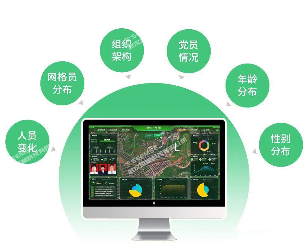
The platform records and performs statistics, analysis, and supervision on personnel information such as age distribution, gender distribution, personnel changes, Party member status, and volunteers at the grassroots level. It promotes the quantification and refinement of Party organization personnel in a visual, data-based, and three-dimensional way, and ensures village cadres are managed down to the last detail.
The village committee uses these data as a basis to comprehensively analyze factors such as age, gender, rank, and ability of grassroots personnel, optimize the structure and strength of village-stationed teams, orderly carry out adjustments and rotations of village-stationed task force members, personnel selection, and work handover, ensure the overall function and advantages of village-stationed task forces are brought into play, and achieve selection according to needs and suitability between people and posts.
Events One-Map
Vigorously promoting the development of specialty industries—as the saying goes, 'data runs more, people run less'—the event handling module can play an important role in scenarios such as river regulation, rural civilization, and environmental governance. At the same time, in daily village affairs management, villager disputes, garbage governance, campus safety, and other areas, it provides greater convenience for villagers' daily work.
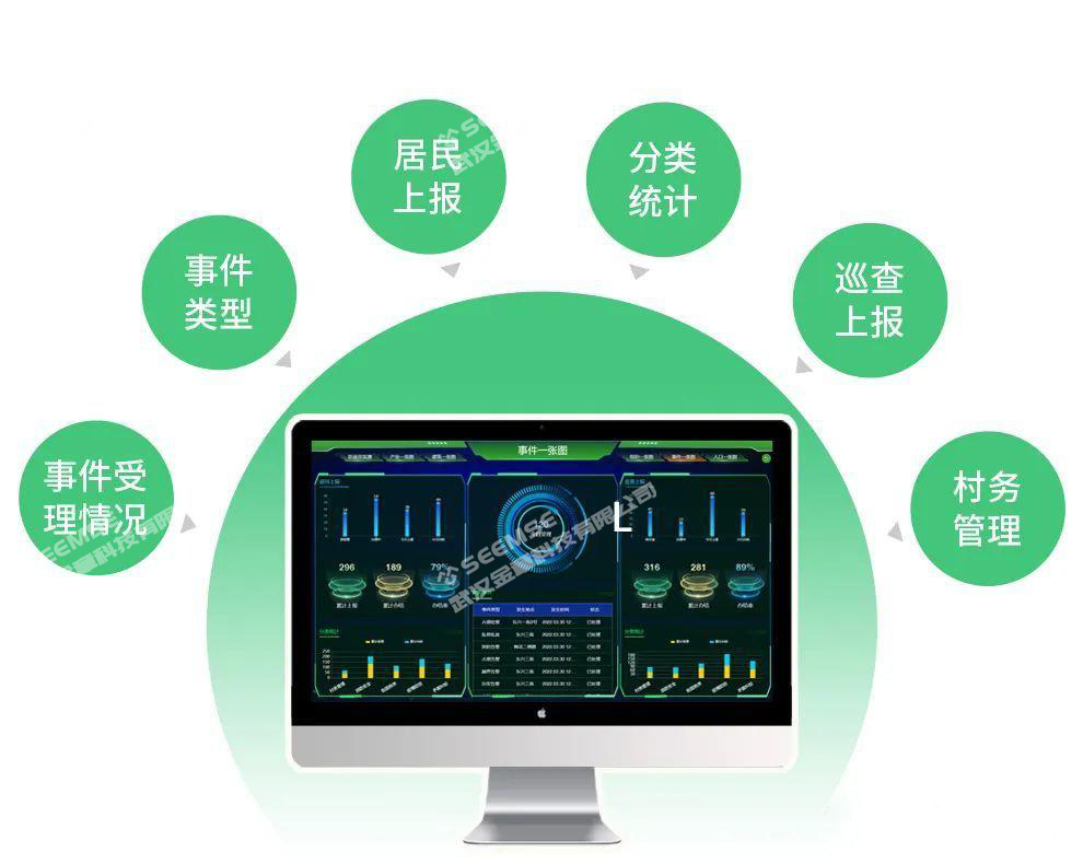
Through the large screen of the rural governance platform, the village committee and group leaders display events such as illegal parking on streets, roadside business operations, random parking and placement, boundary-crossing alarms, public security alarms, and illegal advertising. Which events have been handled and which have not are clear at a glance, along with village conditions and public sentiments.
In daily management, rural cameras can be connected to view village public security and sanitation conditions, issue early warnings for disasters, illegal parking, unauthorized vending, and other behaviors, making governance of villages and villagers more efficient and worry-free, and improving comprehensive rural governance capacity.
Population One-Map
Achieving service management precise to each person, the Population Data Management One-Map covers the population of all administrative villages within the town area. It involves basic population information management, including key service groups such as minimum living guarantee recipients, people with disabilities, elderly people living alone, veterans, people in extreme poverty, and left-behind populations. It successfully breaks down data barriers between different departments and ensures the accuracy and consistency of basic population information in relevant departments.
!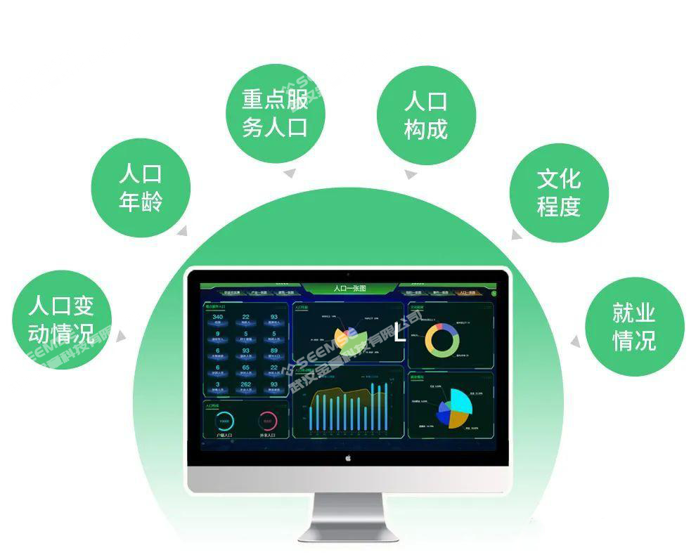
It is of great significance for clarifying information such as the town's population composition, population age, population changes, education level, and employment status, solving data problems among departments such as public security, family planning, human resources and social security, and civil affairs, effectively implementing population strategies, and comprehensively improving targeted population management by various departments.